News
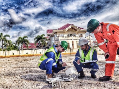
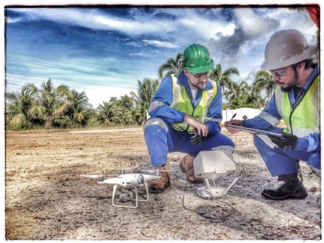
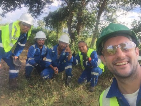
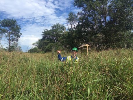
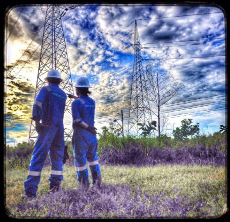
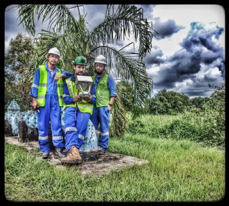
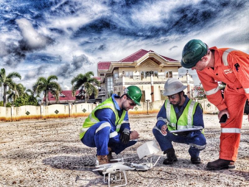
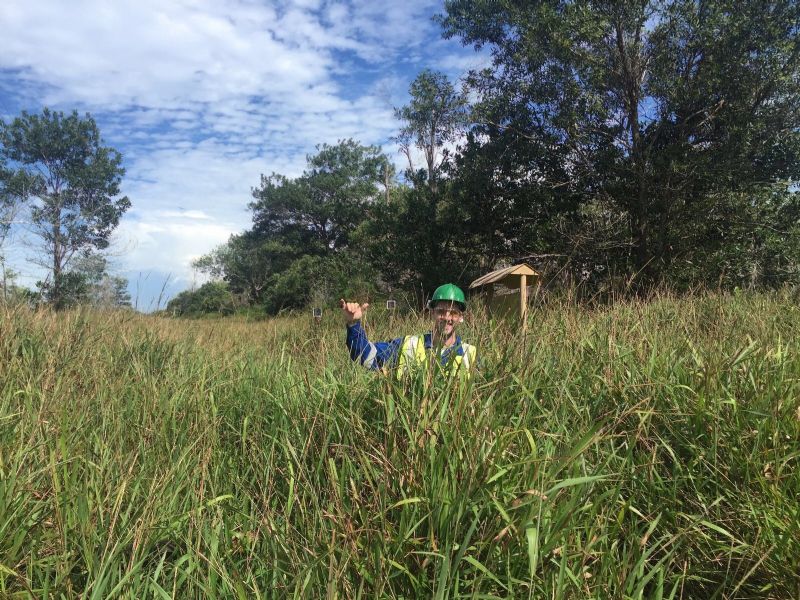
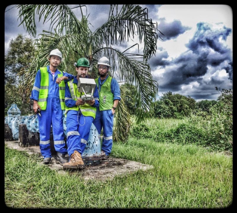
AstraGeos & LandSurveys.au completes PID48 Pipeline UAV Survey
On November 18, with the use of a multirotor platform (DJI Phantom 4 Pro Quadcopter) and a qualified UAV Operator from LandSurveys, the team have successfully completed and captured high resolution NADIR imagery over the PID48 pipeline corridor, approximately 17 linear kilometers (from SCOT to BLNG). The multirotor was operated at a flight height of approximately 65m above ground level but no higher than 100m. It was operated from numerous vantage points along the pipeline to keep it within visual line of sight to the operator and observers. The project was safely operated and within the current regulations of DCA and BSP-SAV.
Careers
Check out our open vacancies and apply online
Read more